 |
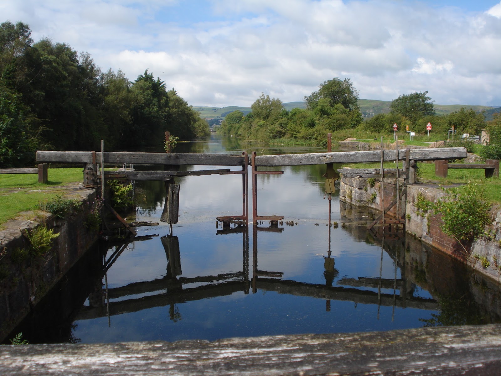
| The remains of the lock gates reflected in the water. |
Question: How do you boost your town’s wealth and trade when there’s no decent road network linking you to the rest of Britain, but you’re only a mile and a half from the sea? Answer: You build a canal… And that’s just what the good citizens of Ulverston did at the end of the 18th century.
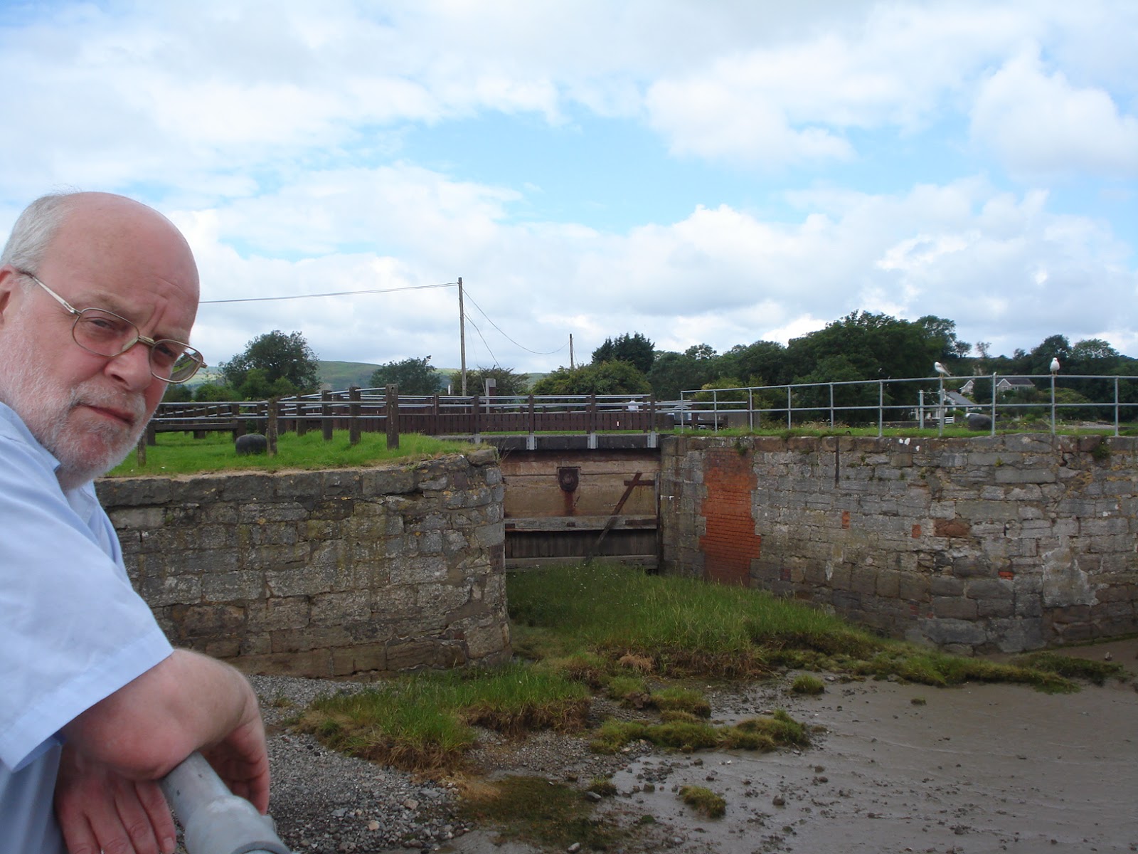 |
| Sea-side: This was the entrance to the canal but, as you can see from the grass, the sea no longer reaches the gates. |
We left the campervan behind, and walked along hedge-lined lanes and narrow roads down to Canal Foot at Hammerside, where the canal meets the sea (the town end is known as Canal Head). It seemed quite a trek – as I’ve said before, we’re not really used to walking – so we were glad to stop and enjoy a reviving pot of tea whilst sitting in a pub garden admiring the spectacular views of Morecambe Bay, the Cumbrian Hills, and the canal itself.
 |
| Land-side: The lock at the end of the canal. Once the level of the water had been adjusted, huge gates would have opened to let ships in or out. |
In the 18th century Ulverston, like most of the Furness Peninsula, was cut off on the landward side by the hills and mountains of the Lake District, and on the seaward side by the treacherous, shifting sands of Morecambe Bay. In those days Cumbria hadn’t been created (the county is a modern invention, as the Man of the House is fond of reminding me), and the area, remote and isolated, was known as known as Lancashire-over-the-Sands, which I think sounds much nicer. Romantic, don’t you agree? Anyway, horse-drawn wagons took local iron and slate to coastal towns to be shipped elsewhere, but loading and unloading was difficult, because the bay is tidal, and the water goes out for miles.
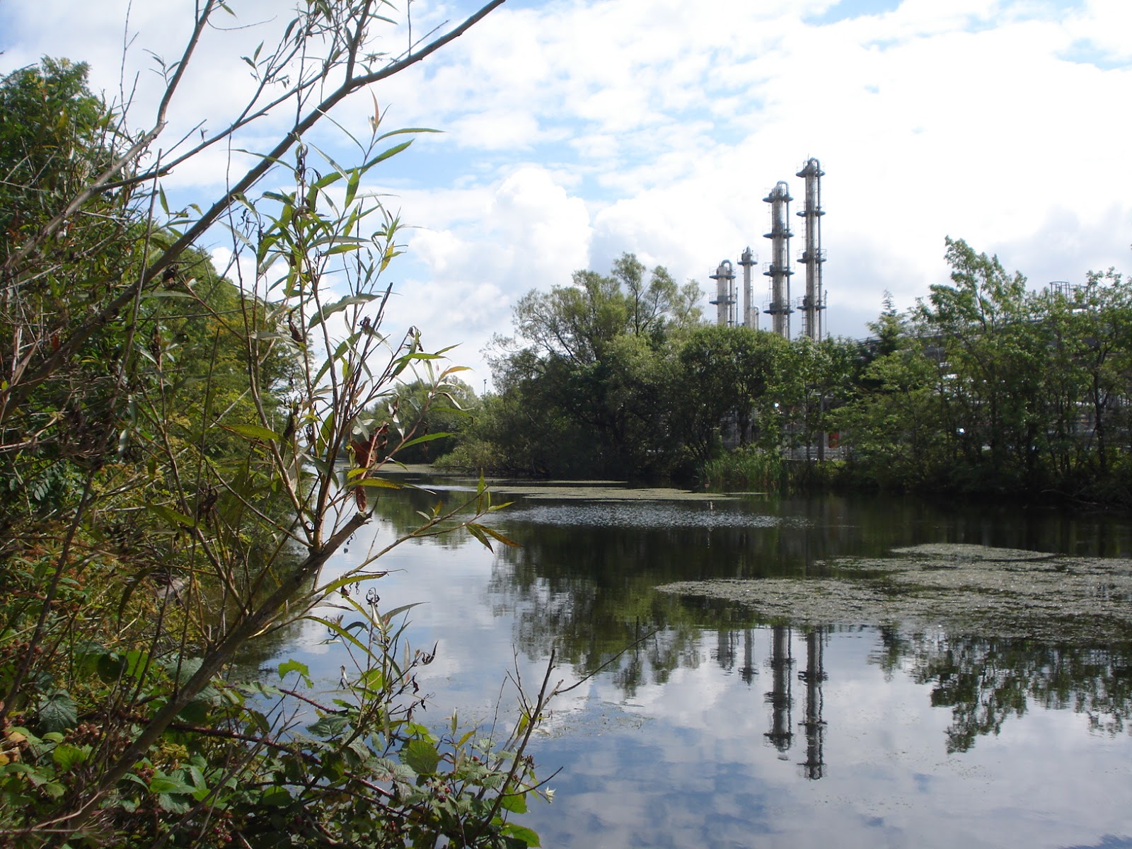 |
| I like this view of industrial chimneys reflected in the water, and the juxtaposition of nature and industry existing side by side. |
A host of industries grew up around it. There were warehouses, foundries, mills, timber merchants, rope making, and ships’ supplies, as well as charcoal burning and hoop-making for barrels. Hemp was grown in local fields, and twisted into rope for ships on ‘rope walks’. Ship building and repairs flourished – vessels from Ulverston travelled the world when nearby Barrow, now much better known, was still a hamlet. And, of course, there were offices for port and customs officials.
Merchants and ship owners became extremely wealthy – but many a fortune was based on the iniquitous ‘three-way trade’, where goods were traded for African slaves, who were sold in America and the Caribbean, and ships returned to England with their holds full of goods unavailable in their native land. In Ulverston riches were often founded on locally produced gunpowder, which was traded for slaves in Africa.
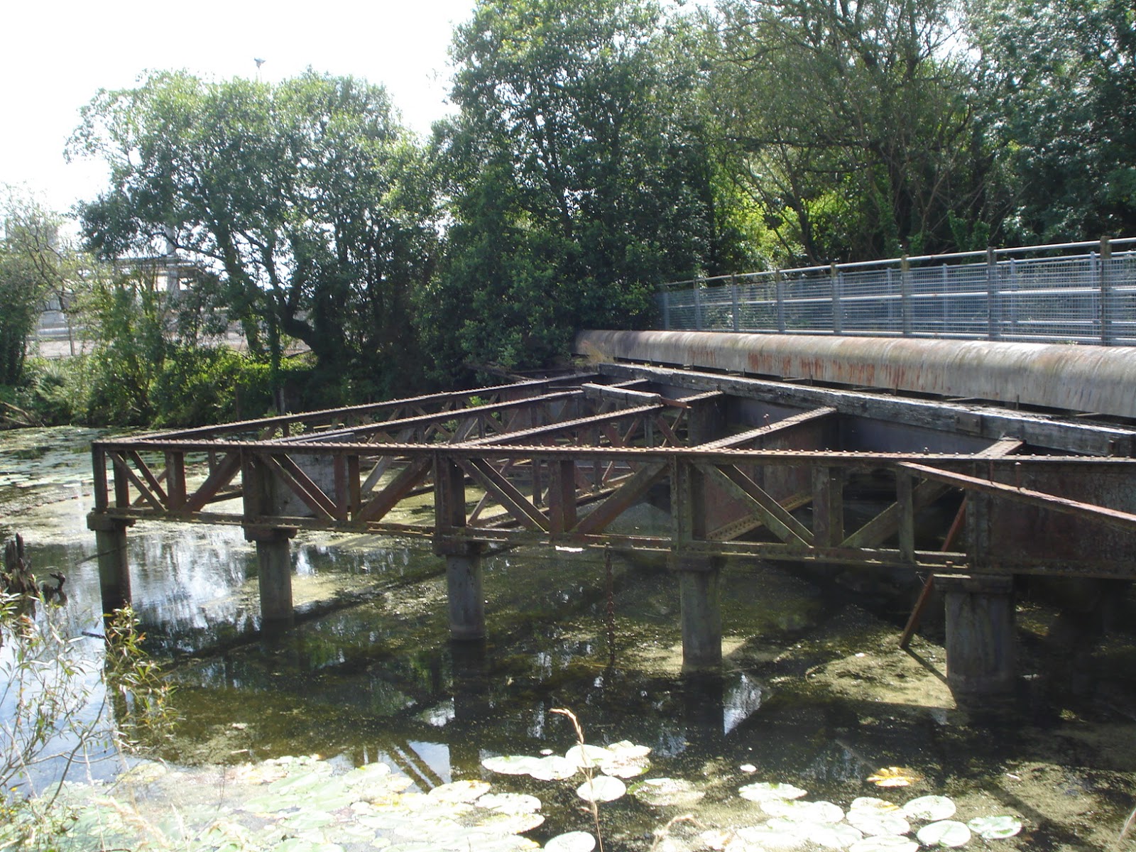 |
| This strange structure is part of a rare sliding railway bridge, which originally opened up to let ships through (unlike the brick built viaduct arches further up the canal). There are bits of it below the water on both sides of the bridge. |
But the glory years didn’t last long: from the outset there were problems keeping the constantly moving deep water channel free from silt and in the right position. Barrow proved to be a far better deep water port, growing in importance as Ulverston declined. And the railway had a terrible effect. In the mid-1840s viaduct arches built across the canal near its head prevented bigger ships from reaching the ‘pool’. Although a new basin was dug out on the other side of the bridge for new wharves, things never picked up.
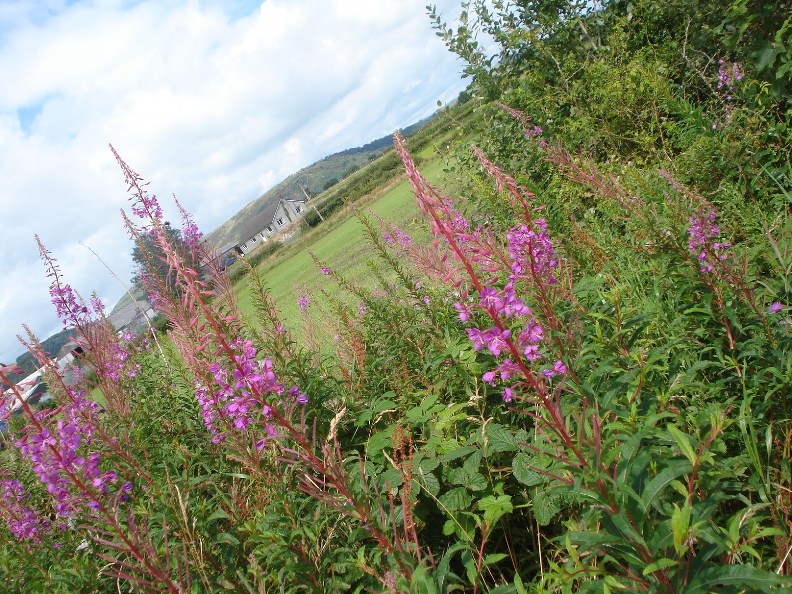 |
| This was the unspoiled landscape next to the towpath. |
A large chunk of land on one bank is taken up by pharmaceutical giant Glaxo Smith Kline, who owned the canal at one point, but it now belongs to the Ulverston Canal Company, and a trust has been established to provide cash for management, maintenance and preservation. In addition, I gather South Lakeland District Council, Ulverston Town Council and other interested bodies are working with UCC to develop derelict industrial areas on that side of the canal, to preserve wildlife, and promote leisure activities.
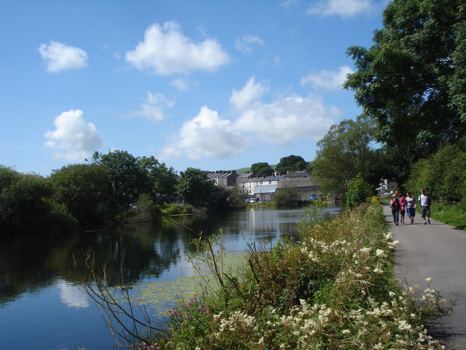 |
| Don’t you think this looks beautiful? The buildings in the background are at Canal Head, where the canal ends – it looks almost like the edge of pond, which wasn’t what I was expecting. I imagine it would look more like a dock. |
I spotted rowan trees, and brambles, meadowsweet with its beautiful creamy white flowers, rose bay willowherb, a plant I think was kind of balsam, and a profusion of other flowers and grasses. The canal was much, much bigger than the canals in and round Tamworth, and looked much cleaner as it shone and sparkled in the sunlight.
It was the most beautiful, peaceful walk, and was obviously well used by fisherman, walkers, cyclists, dog owners, children, tourists and local residents, which was good to see. We were also impressed that people seem to respect the area – there was no dog mess or litter, no-one was playing loud music, and the children and young people we met were all really well behaved. I should add here that the water and banks of the canals where we live often leave a lot to be desired.
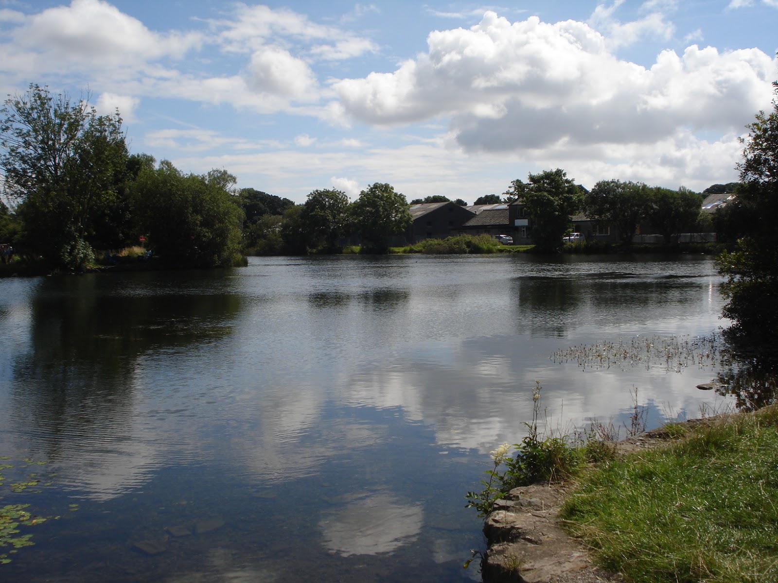 |
| The canal basin. |
At the end of our canalside stroll we made our way into the town centre, where we had another reviving cup of tea and treated ourselves to a late lunch of home-made soup and a sandwich (the bread was was homemade as well). Deciding we’d done enough walking for one day, we headed for the bus stop, and stopped to ask directions from a lovely lady who started chatting, said she was going our way, and insisted on giving us a lift! That’s another thing that doesn’t happen at home! It made the perfect end to a perfect day, leaving us with some really happy memories.
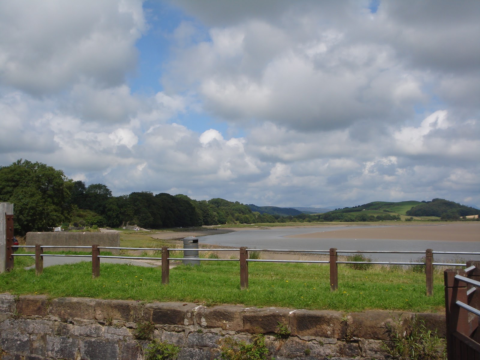 |
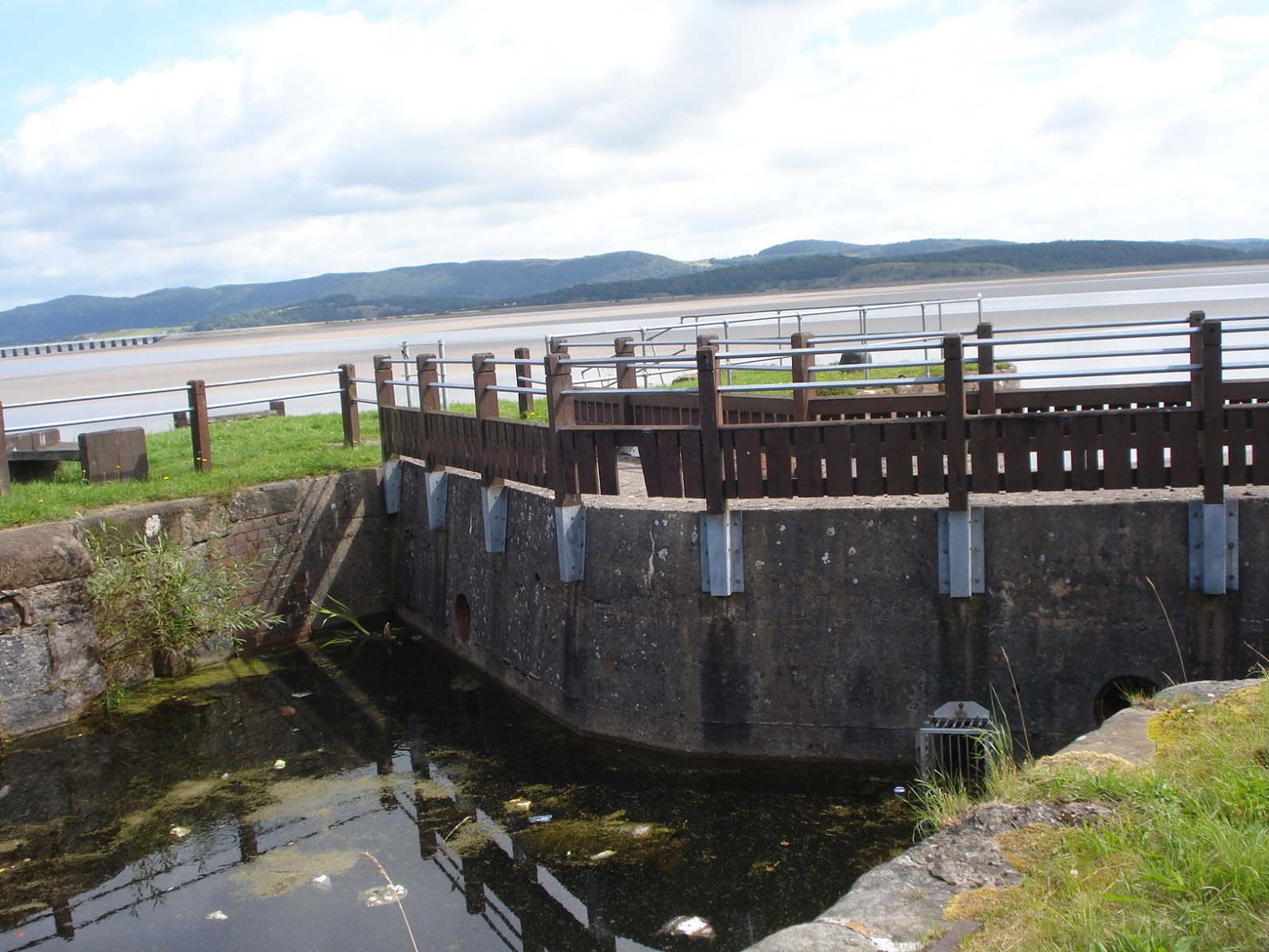
| The lock of the bay: Looking out across the sea and sand. |

Leave a reply to Meaghan Cancel reply